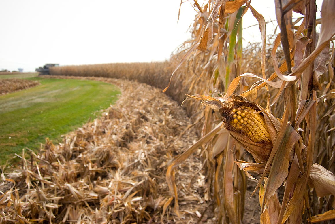
Accurate mapping of farmlands is a key factor for several agricultural decision-making activities such as crop insurance needs and yield forecast. The current solution, the U.S. Cropland Data Layer from the U.S. Department of Agriculture, has some drawbacks. For one, data for a season is released in the spring of the following year, making real-time decision-making impossible. In Minnesota, a further drawback is that it only assesses major crops such as corn and soybeans, ignoring, for example, smaller grain crops.
In a project titled Developing an Innovative Topology-Based Classification Framework for Cropland Mapping in Minnesota, PhD student Chenxi Lin (Bioproducts and Biosystems Engineering) is working on a topology-based classification framework that will incorporate remote sensing and machine learning. This system will allow for in-season results that will allow farmers to make timely decisions.
Some funding for this project was provided by a 2021 University of Minnesota Informatics Institute MnDRIVE PhD Graduate Assistantship. The UMII MnDRIVE Graduate Assistantship program supports UMN PhD candidates pursuing research at the intersection of informatics and any of the five MnDRIVE areas:
- Robotics, Sensors and Advanced Manufacturing
- Global Food Ventures
- Advancing Industry, Conserving Our Environment
- Discoveries and Treatments for Brain Conditions
- Cancer Clinical Trials
This project is part of the Global Food Ventures MnDRIVE area.
Research Computing partners:
- University of Minnesota Informatics Institute (funding)